


Welcome to the Cascade Ecology Data Portal
The platform is to provide researchers, professionals, and students with easy access to a wealth of information and data on remote sensing and GIS. Whether you are conducting spatial analysis, seeking satellite imagery, or looking for comprehensive data sets for your research, the website offers a variety of resources to meet your needs. Also the website include links and information to valuable journals, book chapters, conference abstracts, and papers to support your work.
Introduction to Remote Sensing
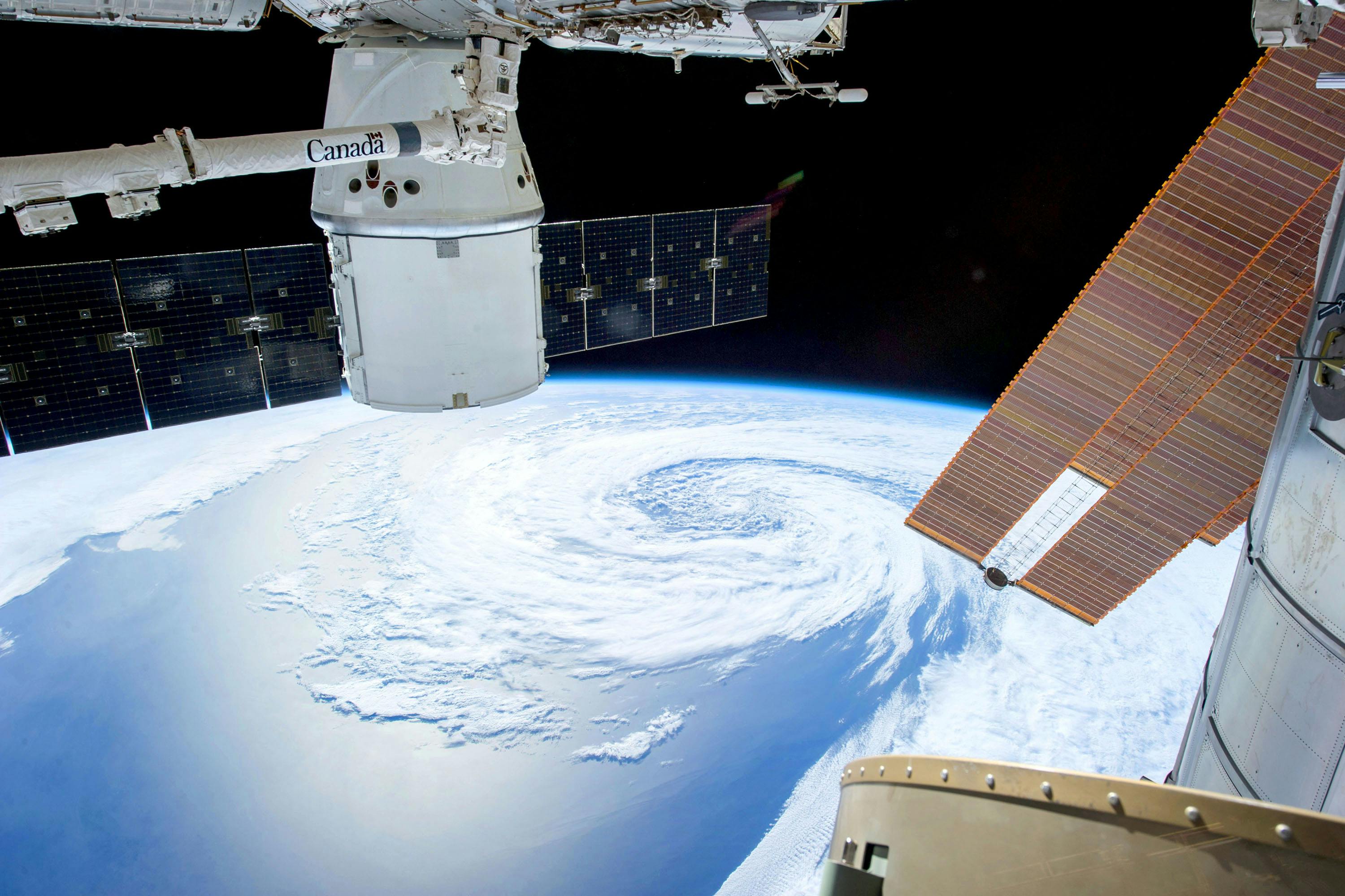
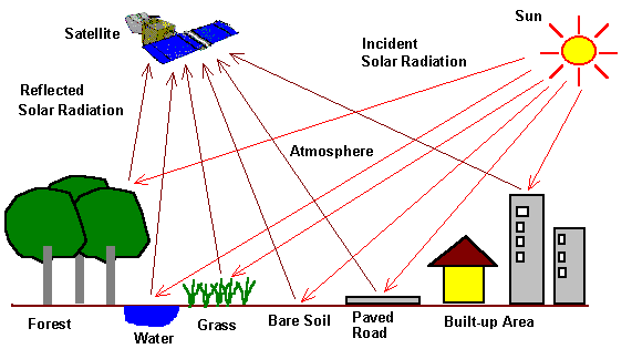
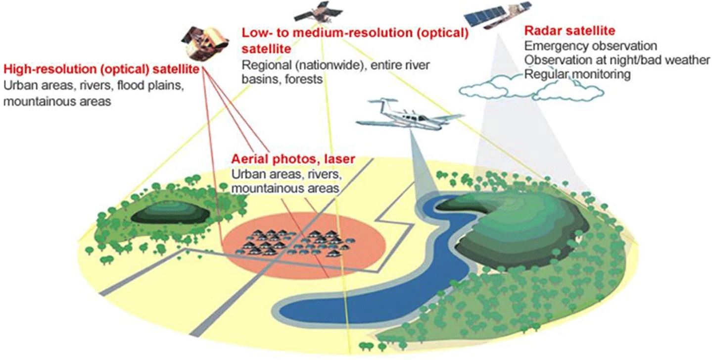
Remote sensing is the science of obtaining information about objects or areas from a distance, typically from aircraft or satellites. It involves detecting and measuring radiation of different wavelengths reflected or emitted from distant objects or materials, which can then be used to observe and analyze the Earth's surface and atmosphere.
This technology is widely used in various fields such as agriculture, forestry, geology, hydrology, and environmental monitoring. By providing valuable data on land use, vegetation health, soil moisture, and other critical parameters, remote sensing plays a crucial role in understanding and managing natural resources and environmental changes.
Applications of Remote Sensing
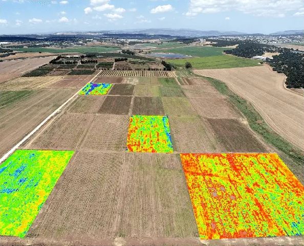
Agriculture
Monitor crop health, soil conditions, and agricultural productivity with high precision.
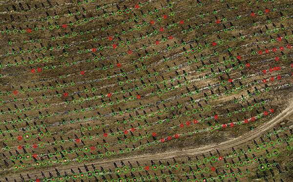
Forestry
Assess forest health, biomass, and changes in forest cover over time.
Environmental Monitoring
Track environmental changes, natural disasters, and climate patterns globally.